FRIDAY, Jan. 12 — Snow, followed by kids on sleds.
That’s the weather prediction for this weekend. And if holds true, local governments say they will be prepared.
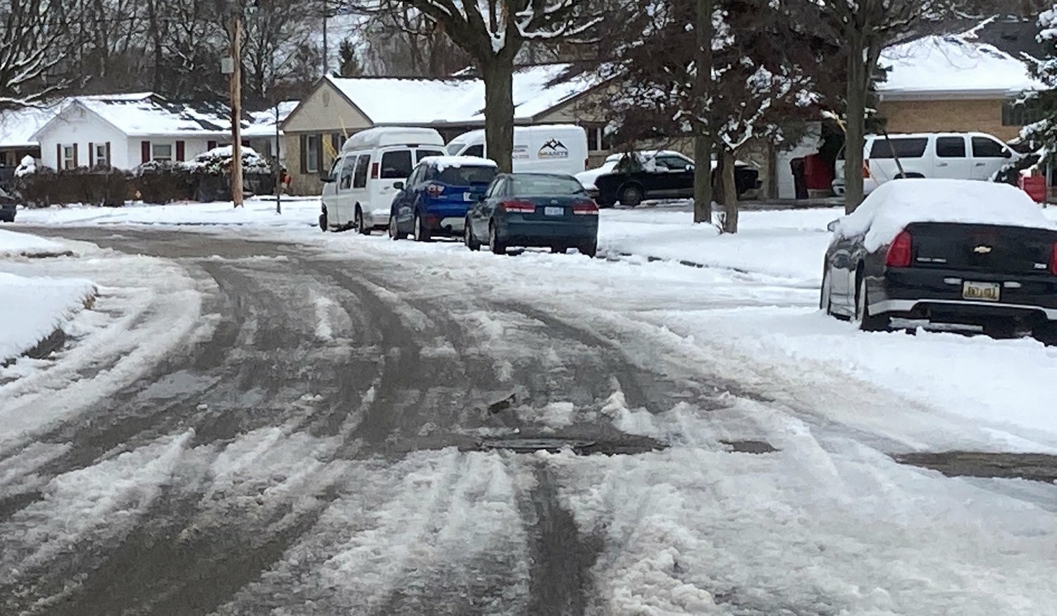
Andy Kilpatrick, Lansing’s public service director, said his team has spent the past few days salting the roads and coordinating a fleet of snowplow drivers to mitigate the impact of a heavy winter storm that’s expected to hit the region by this afternoon.
“In a typical year, we would have had at least one or two moderate storms by now. We haven't really had much snow before this, so this will be the first big test of the season for both our staff and drivers,” Kilpatrick said. “We’ve been working ahead to assess what our response needs to be and how early we need to be getting out there as it comes up.”
According to a National Weather Service winter storm warning issued just after 3 p.m. yesterday for Clinton, Eaton, Ingham and Calhoun counties, the storm was supposed to begin around 10 a.m. today and continue through 7 p.m. Saturday. The latest update has snow coming in sometime before 3 p.m. The area is projected to get 5 to 9 inches of snow in total during that period, with increased safety risks associated with wind gusts that may climb up to 50 miles per hour this afternoon.
Most of the schools and districts in the area opted to cancel classes, including Lansing Community College, the Lansing School District, East Lansing Public Schools, Okemos Public Schools, the Cole Academy, CACS Head Start, Charlotte Public Schools, DeWitt Public Schools, Haslett Public Schools, Holt Public Schools, Lansing Charter Academy, Lansing Christian School, Leslie Public Schools, Mason Public Schools, Windermere Park Charter Academy, Williamston Community Schools and Waverly Community Schools. LCC did not cancel its online courses, however.
Meanwhile, Kilpatrick’s department is responsible for plowing and salting roughly 413 miles of city streets plus an additional 30 miles contracted out to it by the Michigan Department of Transportation. The department has 52 trucks, 2,000 tons of salt and about 25 drivers at the ready.
“We don't necessarily put out that many drivers, but as we get through the streets in those conditions, things like hydraulic hoses and plow blades will inevitably break. So, we’ll have a lot of trucks on hand that are there as backup,” Kilpatrick said.
They’ll typically send out 18 to 24 trucks per shift during the heaviest snowfall.
“We won't necessarily put all of them out right away. We'll staff up with people who are on our normal shift who could work for 16 hours on and eight hours off. Depending on what it looks like as we're transitioning shifts, we’ll bring other people back in as necessary,” he said.
Nearby, East Lansing’s public works crews are preparing to cover 26 miles of major streets, 63 miles of local or residential streets and three miles of alleys.
Elsewhere, people like Eaton County emergency manager Ryan Wilkinson are working to “bridge the gaps” between cities, utility companies, public health and safety departments and other stakeholders ahead of the storm.
“When you started having a real complex incident, you get a lot of different people at the table who speak different languages and have different roles and responsibilities. One of our main functions is to is to try and get these people talking and moving together in the same direction so we can solve problems faster and more effectively,” Wilkinson said.
Wilkinson works closely with the Eaton County Road Commission, which is responsible for the actual boots-on-the-ground maintenance of over 1,170 miles of county roads, most of which lie outside of incorporated areas. In neighboring Ingham County, a team of around 44 employees covers over 1,253 miles of roads — including the entirety of Meridian Township — with a fleet of up to 50 trucks.
Both Kilpatrick and Wilkinson advised those who can’t avoid the roads while the storm runs its course to be on high alert and drive slowly.
“One important message we try to get across is to watch out for workers on the side of the road. We want to make sure our first responders can get down to those hard-to-access areas, especially if there's a life-threatening emergency,” Wilkinson said.
He said Greater Lansing residents should generally brace themselves for “pretty significant snowfall” starting today.
“They’re predicting strong wind gusts, possible power outages and travel hazards, so there are a lot of ways the storm could disrupt our everyday lives,” Wilkinson said. “Our message right now is: ‘Hey, be ready for this, and avoid traveling if you can.’”


Support City Pulse - Donate Today!
Comments
No comments on this item Please log in to comment by clicking here